|
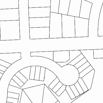
Width: 400 Height: 400 Extent:
YMin: 350850.4388325252 XMax: 2811735.344489751 YMax: 351483.7389079398 Spatial Reference: 102720 (102720) LatestVCSWkid(0) Scale: 1823.9042171940207 |
| ArcGIS REST Services Directory | Login |
| Home > services > Public_Layers > ParcelsPublic (MapServer) > export | API Reference |
|
|
Width: 400 Height: 400 Extent:
YMin: 350850.4388325252 XMax: 2811735.344489751 YMax: 351483.7389079398 Spatial Reference: 102720 (102720) LatestVCSWkid(0) Scale: 1823.9042171940207 |